BOSTON
Boston is a town and small port in Lincolnshire, on the east coast of England, approximately 100 miles (160 km) north of London. It is the largest town of the wider Borough of Boston local government district. The town itself had a population of 35,124 at the 2001 census, while the borough had a total population of 66,900, at the ONS mid-2015 estimates. It is due north of Greenwich on the Prime Meridian.
Boston's most notable landmark is St Botolph's Church ("The Stump"), said to be the largest parish church in England, visible for miles around from the flat lands of Lincolnshire. Residents of Boston are known as Bostonians. Emigrants from Boston named several other settlements around the world after the town, most notably Boston, Massachusetts, in the United States.

St Botolph's Church, Boston

Guildhall, Boston

The town was once held to have been a Roman settlement, but there is no evidence this is the case. Similarly, it is often linked to the monastery established by the Saxon monk Botolph at "Icanhoe" on the Witham in ad 654 and destroyed by the Vikings in 870, but this is now doubted by modern historians. The early medieval geography of The Fens was much more fluid than it is today and, at that time, the Witham did not flow near the site of Boston. Botolph's establishment is most likely to have been in Suffolk. However, he was a popular missionary and saint to whom many churches between Yorkshire and Sussex are dedicated.
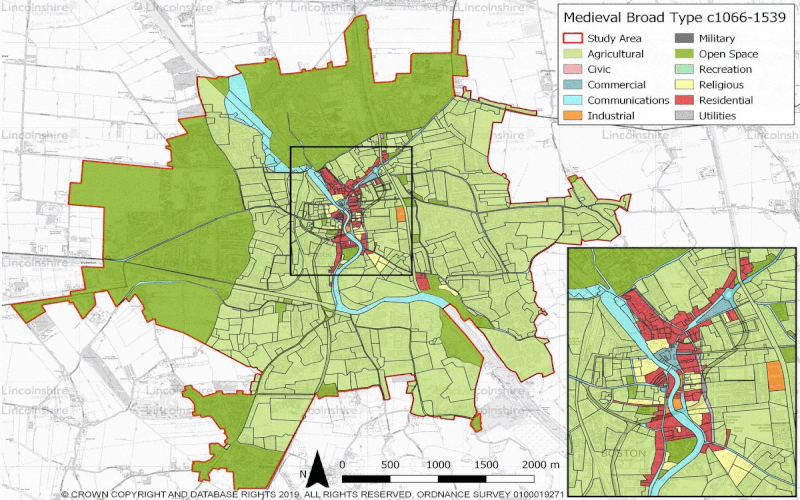
The 1086 Domesday Book does not mention Boston by name, but nearby settlements of the tenant-in-chief Count Alan Rufus of Brittany are covered. Its present territory was probably then part of the grant of Skirbeck, part of the very wealthy manor of Drayton, which before 1066 had been owned by Ralph the Staller, Edward the Confessor's Earl of East Anglia. Skirbeck had two churches and one is likely to have been that dedicated to St Botolph, in what was consequently Botolph's town. Skirbeck is now considered part of Boston, but the name remains, as a church parish and an electoral ward.
The order of importance was the other way round, when the Boston quarter of Skirbeck developed at the head of the Haven, which lies under the present Market Place. At that stage, The Haven was the tidal part of the stream, now represented by the Stone Bridge Drain, which carried the water from the East and West Fens. The line of the road through Wide Bargate, to A52 and A16, is likely to have developed on its marine silt levees.[citation needed] It led, as it does now, to the relatively high ground at Sibsey, and thence to Lindsey.