CAISTOR
Historic Background
Human activity in Caistor can be traced back to the prehistoric period. One of the main prehistoric trackways in the county probably passed through Caistor on its way from South Ferriby south to Horncastle, along the western edge of the Wolds. Many prehistoric flint finds, including blades, arrowheads and scrapers, have been found in the survey area; as well as a Bronze Age cremation urn and a late Iron Age round house and oven. The first evidence of Caistor becoming a settlement is from the Roman period, with its name deriving from the Latin for fort or camp, caester. The presence of springs and a defensive location with views of the Ancholme Valley and the Roman road of Ermine Street, influenced the establishment of the walled Roman settlement of Caistor.
In the early medieval period, Caistor was a market town and a mint was established in the late 10th century. It was also the centre of an administrative division known as a soke. The lord’s manor may have been located in the vicinity of the Church of St Peter and St Paul, church that would have consisted of only a free standing tower at the time and may have been the manor’s private chapel. During the medieval period the town would was focused around the Market Place, with burgage plots to the north and east of it. The market was sustained by the regional wool trade and the convergence of streams from the Wolds to the Ancholme Valley made the town ideal for water mills. This trade declined however when the wool trade gravitated towards Louth in the 14th century.
In the late 18th century the landscape of Caistor changed from open fields to enclosed private fields, through an Act of Parliament. Caistor’s population more than doubled in the 19th century, as it was an open parish where people could more easily reside. A hiring fair existed in the town and the House of Industry was established as part of the Caistor Poor Law Union. This century also saw the rise of non-conformist churches and chapels in the town. In the 20th century Caistor saw residential expansion mainly to its west and Caistor bypass was constructed in 1938 to the south. Caistor never had a railway station, and the closest railway station in Moortown closed in 1965; the town has therefore mainly depended on buses or private transport throughout the 20th and 21st centuries.


Character Summary
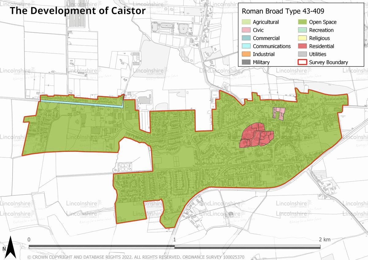
There are four identifiable character areas and patterns of development in Caistor. HUCA 1 represents the historic medieval core of the town, with the Market Place at the centre, the old Roman walled settlement to the west and burgage plots to the north and east. These areas have conserved the medieval street layout but the plots of land have been infilled with post-medieval buildings and is a commercial and residential area. HUCA 2 represents the town’s 19th century residential expansion to the north and south of HUCA 1, as well as a primary school dating to 1859. HUCA 3 is characterised by 20th and 21st century urban expansion; this is mainly residential but also includes schools and areas for outdoor sporting activities. HUCA 4 comprises the industrial estate on North Kelsey Road which was first established in 1968 and has expanded since. The overall character of Caistor is that of a town which has not developed much from its medieval layout. This is due partly to its topography, as well as economic and demographic factors.