BARTON UPON HUMBER
Historic Background
Barton-upon-Humber is located at the northern end of two probable prehistoric trackways, High Street and Barton Street. This, joined with the town’s proximity to the Humber Estuary, probably made it a well connected area in the prehistoric period. There is prehistoric archaeology recorded throughout the survey area. The High Street trackway continued to be an important communication route in the Roman period and ended on the parish boundary with South Ferriby which boasted a ferry across the Humber during this period. It is possible that a Roman settlement on the western edge of the survey and 2km northeast of South Ferriby, known as Poor Farm, also had a ferry. In addition to this there is evidence of Roman occupation in other parts of the survey area, primarily at the location of the Wren Factory and East Acridge in Barton-upon-Humber.


The first evidence for the town taking its current form is during the early medieval period. The street layout of Burgate, Priestgate, Soutergate and Fleetgate probably formed during this period and burgage plots occupied the plots between the streets. The Anglo-Saxon cemetery at Castledyke South indicates settlement in the area as early as the 6th and 7th centuries following the end of Roman Britain in 410AD. The early medieval settlement probably gained importance as an administrative and economic centre within the estate of the 7th century monastery that is generally identified with the neighbouring parish of Barrow-upon Humber. In the 9th century it is possible that a Viking riverside camp was established at Barton within a large D-shaped enclosure that surrounded the medieval settlement. Alternatively, a Danish burgh is one of the possible explanations for the origins of the sub-circular enclosure to the east of St Peter's Church that can still be traced in the modern street pattern.
This early enclosure also contains the site of the Saxon Manor at Tyrwhitt Hall next to St Peter's, and the Saxon church with its 10th century tower may have been a proprietary foundation for the Lord of the Manor. The early market would have been located just to the west of St Peter’s Church; St Mary’s Church (then All Saints) may have been built initially as a church-of-ease for the market. The market changed location to George Street, probably in the 12th century coinciding with the construction of a probable short-lived castle at Castle Dyke. The town’s economy declined from the end of the 14th century because of trade being diverted to Hull; this was further affected by silting of the Haven. Consequently Barton-upon-Humber suffered a generalised decline in the post-medieval period. In the 1790s the landscape and agricultural model changed drastically with the implementation of parliamentary enclosure of the land. Open fields turned into enclosed private land and farmsteads were constructed throughout the survey area.
In the 19th century the area north of the survey area, skirting the Humber, saw the rise of a large brick and tile industry. The industry relied heavily on river transport along the Humber and was helped by the opening of a railway line between Barton-upon-Humber and New Holland in 1849. The Humberside industry mostly stopped in the mid to late 20th century and the leftover extraction pits have been converted into ponds and nature reserves. The Humber Bridge is another change in the landscape; it was opened in 1981 and can be seen throughout the survey area. The bridge and the rerouting of the A15 have improved communications across the Humber and have made the former ferry services redundant.


Character Summary
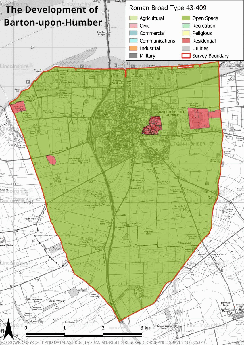
Barton-upon-Humber’s character can be divided into several areas of development. HUCA 1 represents the historic core; it consists of a medieval street layout and mostly post-medieval buildings with some 20th and 21st century buildings too. HUCA 2 represents the area of residential expansion in the 19th century; there are however some 20th and 21st century additions and redevelopments. Despite there being modern buildings located in the previous two HUCAS, the 20th century and 21st century residential expansion primarily took place in HUCA 3. This HUCA is characterised by large planned developments with housing and schools being the focus. HUCA 4 is defined by a late 20th century industrial estate and factory with 21st century extensions. HUCA 5 is the character area that has undergone most change in the last century. In the 19th and 20th centuries it was a large industrial tile and brick working area. With the exception of two tile works either side of the Bridge that continue today, the industry largely ceased production in the mid-late 20th century and gave way to what can be seen today. The character area is now mostly comprised of ponds where recreational activities take place and nature reserves are located. There are also remnants of industrial buildings which have been repurposed, such as the Ropeworks which is now a gallery and museum. The final character area, HUCA 6, is predominantly agricultural. The greatest changes to the landscape in this character area have been the parliamentary enclosures of the 1790s and the construction of the A15, leading to the Humber Bridge.